Space Tech
Space Tech is driving one of the biggest transformations of our generation and will improve life on Earth using tools that combine high-resolution satellite imagery data with Artificial Intelligence (AI) and Machine Learning (ML). Whether it’s precious natural habitat or the built environment, patterns of human behaviour or flaws in critical infrastructure, all can be surveyed and better understood from space. This is the knowledge hub to explore the fast-growing applications of Space Tech.
Transform your rail operations with the power of Earth observation data
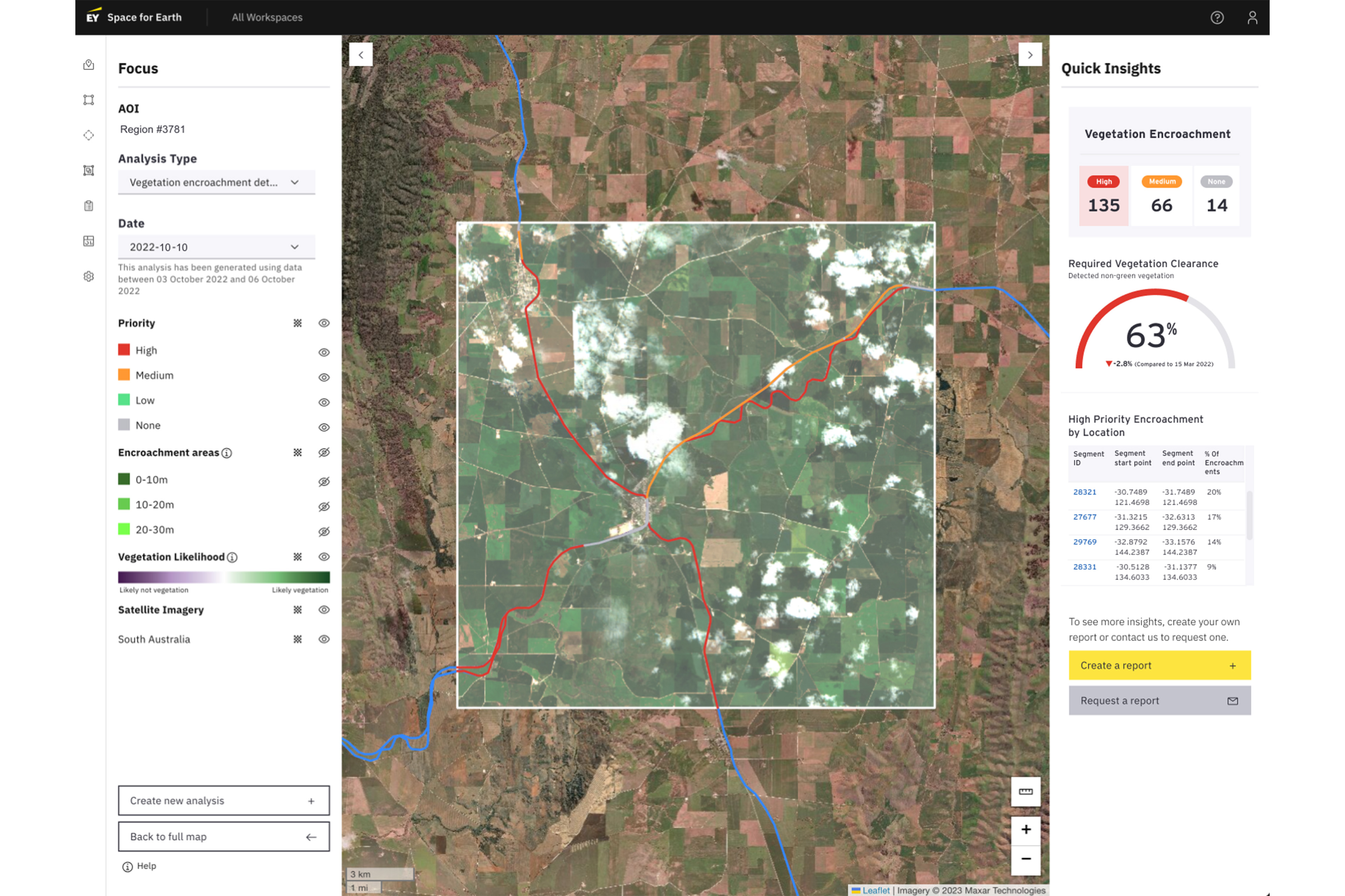
Data from Earth observation satellites is transforming rail operations by providing insightful analysis, identifying problems before they escalate and optimising operational efficiency. Advanced satellite sensors delivering detailed Earth observation data, combined with AI and our proprietary algorithms, enable rail network management to become more efficient, effective, and safer.
Identify
>90%of land disturbance events over the last 7 years
Predict vegetation growth over a 3 month timeframe with
>85%accuracy
Identify
>90%of land disturbance events within 1 month of occurance
How we can help
The EY Space Tech Lab is harnessing Earth observation insights to help rail operators transform and improve their operations.
- How can predictive vegetation growth minimise maintenance costs?
- How does water prevalence impact embankment stability, washaways, and derailments?
- How will climate change impact our rail networks?
All these questions can be answered using satellite data.


